Downtown Hot Springs, NC
After a short and enjoyable visit with my family, I was shuttled back to the trail in Hot Springs, NC by my girlfriend Pam. Hot Springs is located on the confluence of the French Broad River and Spring Creek. The town, which original name was Warm Springs, got it's name because of a local spring the pumps 100+ degree water from the earth, which is the only spring of it's kind in North Carolina. Because of the town's naturally hot mineral springs, the town is a popular destination for tourists looking for a relaxing mountain getaway. Hot Springs is also the first town I've come across that the Appalachian trail literally follows the Main St. sidewalk through the town. 
Since Hot Springs is such a small town, it was easy for me to find my hiking friends sitting outside the town's Outfitter Store. We all made our last minute preparations for the next big stretch of miles and began our hiking around 10am. We followed the trail out of town, across a bridge and over the French Board river. The trail immediately cuts right and closely follows the French Broad river upstream for about a mile. Just as we started to get comfortable hiking the flat land near the river, the trail cut left and climbed straight up the mountain to Lover's Leap.
The view from Lover's Leap provided a great view of the town below which I had never seen before.
It only made sense to take a break from the hot day's hiking and enjoy the view and snap a few pictures.
After continuing on for a few miles, we came across a small pond quietly hidden deep in the woods and decided it was time for lunch! Here we met Thru-hiker's, Yoga Boy and Levi, who were attempting to fish using dental floss, a hook, and their hiking poles. They didn't have any luck.
I sat at the edge of the pond and began eating my lunch when I heard the crooked of a bullfrog right beside my left foot. He was quite the photogenic little guy.

After lunch we continued on to our 12 mile destination to Spring Mountain Shelter. It was a very enjoyable day of hiking and there were signs of Spring showing up everywhere. Not only had the foliage around me taken on a brighter tone of green, but the blooming flowers helped me to navigate each foot step forward.
The next day, the weather decided to take a turn for the worse. It was a very overcast morning with temperatures much lower than the previous days. With rolling thunder off in the distance, we knew that the rain was not far away. As we suited up in our rain gear, we prepared for a long day of hiking in the rain.
The Appalachian Trail has a strange way of picking you back up when things are grim. Just as the cold rain started to fall, we came across a sign posted to a tree that promised burgers and hot dogs just a few miles ahead.
 Lucky for us, the Greeneville, TN hiking club was providing Trail Magic to all Thru-hikers passing through the area. I only had to get there before it was all gone.
Cold, wet, and hungry, I finally emerged from the dense mountain fog to Camp Creek Bald where I was greeted with smiling faces and a plate with not one but two Cheese Burger with all the fixings. I gratefully consumed them both and washed it down with a ice cold soda. Hot Coffee quickly followed. I can't thank the Greeneville Hiking Club enough for their trail magic, which couldn't have come at a more perfect time. THANK YOU, THANK YOU, THANK YOU!!!
We eventually decided to continue on our way and make room for the next group of hikers that followed behind. The constant rain for the last several hours made for an extremely muddy trail, but my smiling stomach wasn't about to let that bring me down. Just before dark we arrived at Jerry's Cabin Shelter, which was already packed full with hikers. I quickly set-up my tent in the rain, climbed inside, and drifted to sleep.
(Kiwi chewing on a stick and the Tribe congregating around a fire)
The next morning, due to wet clothes, wet tents, and wet backpacks, we as a group decided to take a zero day to dry out our gear around a fire inside the shelter. We each took turns placing our wet items close to the fire to dry. My good friend, Turtle, accidentally placed his hiking boots a little to close to the fire and ended up burning a hole big enough to stick your thumb through in the left foot of his hiking boot, which he was later able to have replaced at REI.
That night all nine of us huddled up inside the shelter and slept. It was a very cold day so we were happy to have the day off to rest and recuperate.
After a couple of big hiking days we finally arrived in Erwin, TN which is at mile marker 340. We couldn't have been more happy to have reached Erwin and were excited about the thought of a shower and a soft bed. My girlfriend, who lives in the near by Johnson City came by our hotel room at the Super 8 and collected our laundry, all 9 of us. She later return with freshly washed, dried, and folded hiker clothes. She's pretty awesome!
My Dad's fraternity brother and family friend, Phillip Lane, aka P-lane, had been in contact with me several days earlier and had set aside this specific weekend to help me slack pack for the next 50 miles. But now that I had been hiking with a large group of friends, I didn't feel like it would be right for me to slack pack while the rest of the group had to lug their heavy packs up and over Roan Mtn. I expressed this feeling to P-lane and he suggested that he take everyone's packs in his car and that we would all slack pack together. P-lane is not only a great guy, but he is also an awesome Trail Angel! As a group he saved us from carrying over 350 pounds of gear for 50 miles.
The tribe set off from Uncle Johnnys hiker hostel in Erwin towards Iron Mountain Gap which was 20 miles away.
We stopped for a lunch break at the Curly Maple Gap Shelter just outside of Erwin. It was a long day of hiking from sun up to sun down, but each us felt energized by P-lanes trail magic. Once we arrived at Iron Mountain Gap, we met back up with P-lane who was already their with his car and our packs. We each greeted him with big smiles on our face and were extremely appreciative for his help.
We quickly setup camp beside the dirt road and began to relax. P-lane told us that there was a Wal-mart close by if any of us needed a resupply. Sunkist, Fate, Wetbeard, and I all piled into his blue 1998 Lincoln and headed to Wally World. This would be my first time in a Walmart since starting the trail, and believe me, I haven't missed it either.
The Tribe
Backrow: Sunkist, Sage, Turtle, Hawk Run, Tin Man (Me)
Front Row: Fate, Strawberry and Kiwi, Wrong Way, Wet-beard
Photo by P.Lane of the Tribe
That night back at camp we all joined P-lane around the campfire and roasted hot dogs and s'mores, and washed it down with a cold beer from the cooler. The day's 20 mile hike finally got the best of us and we one by one retired to our tents for the night.
 The next morning we packed up camp and once again loaded our heavy packs into P-lanes car, and set off for a second day of slack packing. We planned to meet back up with P-lane at the Over Mountain Shelter after covering a very mountainous 20 miles.

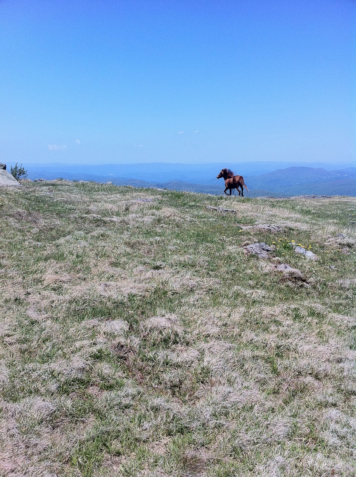
Once we finished the climb to the top of Roan Mountain (5,600 ft), we found our selves walking through a jungle of Frasier Firs trees. It was nice to trade the ridged rock climbing for a flatter surface cushioned by a dense layer of dead pine needles.
At the bottom of the mountain we came into Carvers Gap, where there is a big parking lot for day hikers and pick-nickers.
Looking back towards Roan Mountain

Second night of camping with P.Lane
Kiwi playing frisbee
 Thank you again to Phillip Lane for providing a full weekend of trail magic and slack packing to nine smelly hikers! The photo below is a photo taken at the Over Mountain Shelter with P.Lane in the middle.
 Playing Hiker Horseshoes with the Tribe. All you need is two hiking poles, two gatorade bottles, and a frisbee, and you end up with entertainment for hours.


After two straight days of rain, we finally reached Watauga Lake in Tennessee.
I eventually got bored and decided to entertain myself by making a home made fishing pole with some trash found around the lake. I got several bites, but didn't have any luck reeling in the big one.

The view of Watauga Lake from the Mountains.
The next big stop after Watauga Lake is Damascus, VA which is around 40 miles north. After a marathon of hiking and my first night hiking experience, I finally crossed into Virginia and into Damascus.

The Virginia portion of my Appalachian Trail Blog will follow very soon. Happy Trails Yall!


 Unfortunately it rained almost the entire time spent at the Lake.
